Coleshill and Rushymead from the air
Introduction
The photograph on this page of Coleshill and Rushymead from the air by Thomas Nugent as part of the Geograph project.
The Geograph project started in 2005 with the aim of publishing, organising and preserving representative images for every square kilometre of Great Britain, Ireland and the Isle of Man.

There are currently over 7.5m images from over 14,400 individuals and you can help contribute to the project by visiting https://www.geograph.org.uk
Coleshill and Rushymead from the air
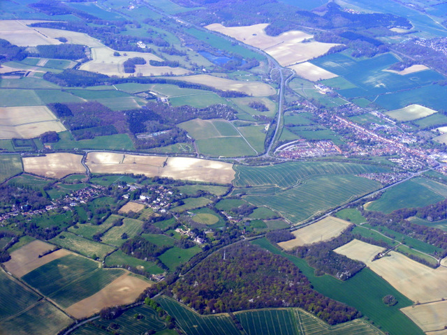
Image: © Thomas Nugent Taken: 10 Apr 2011
The A413 road to the west of Amersham can be seen to the right of centre of the photo. Viewed from a Heathrow bound flight from Glasgow.
Images are licensed for reuse under creativecommons.org/licenses/by-sa/2.0
Image Location
Latitude
51.650193
Longitude
-0.621038