Former RAF Oakley from the air
Introduction
The photograph on this page of Former RAF Oakley from the air by Thomas Nugent as part of the Geograph project.
The Geograph project started in 2005 with the aim of publishing, organising and preserving representative images for every square kilometre of Great Britain, Ireland and the Isle of Man.

There are currently over 7.5m images from over 14,400 individuals and you can help contribute to the project by visiting https://www.geograph.org.uk
Former RAF Oakley from the air
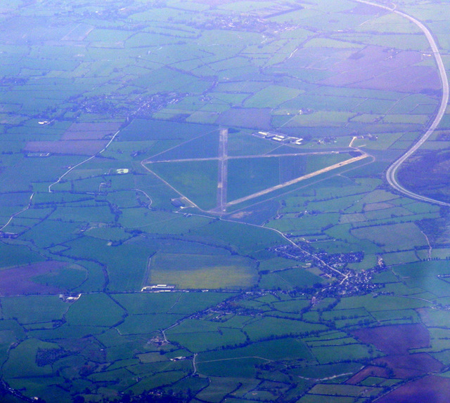
Image: © Thomas Nugent Taken: 10 Apr 2011
The village of Oakley is to the lower right, with the M40 motorway visible to the top right. Click on this http://en.wikipedia.org/wiki/RAF_Oakley to go to the wikipedia article about the base. Viewed from a Heathrow bound flight from Glasgow.
Images are licensed for reuse under creativecommons.org/licenses/by-sa/2.0
Image Location
Latitude
51.80731
Longitude
-1.051387