Unknown building north of Billingshurst
Introduction
The photograph on this page of Unknown building north of Billingshurst by Dave Spicer as part of the Geograph project.
The Geograph project started in 2005 with the aim of publishing, organising and preserving representative images for every square kilometre of Great Britain, Ireland and the Isle of Man.

There are currently over 7.5m images from over 14,400 individuals and you can help contribute to the project by visiting https://www.geograph.org.uk
Unknown building north of Billingshurst
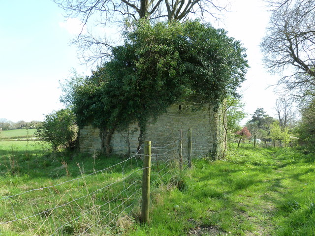
Image: © Dave Spicer Taken: 9 Apr 2011
Information from Billingshurst History group states that is one of two windmills in the area. The mill lasted until 1906 when it was severely damage in a gale. The last hundred years of neglect has seen further decline.
Images are licensed for reuse under creativecommons.org/licenses/by-sa/2.0
Image Location
Latitude
51.023284
Longitude
-0.444657