Hurstwood Cottages
Introduction
The photograph on this page of Hurstwood Cottages by Simon Carey as part of the Geograph project.
The Geograph project started in 2005 with the aim of publishing, organising and preserving representative images for every square kilometre of Great Britain, Ireland and the Isle of Man.

There are currently over 7.5m images from over 14,400 individuals and you can help contribute to the project by visiting https://www.geograph.org.uk
Hurstwood Cottages
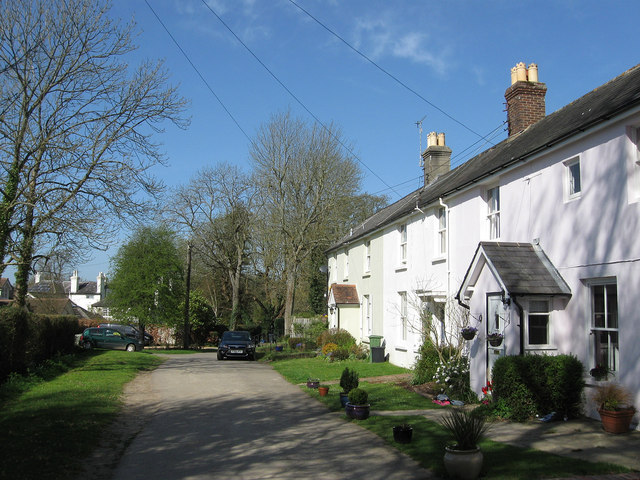
Image: © Simon Carey Taken: 10 Apr 2011
Located at the point where Colwell Lane ceases to be a metalled road. The cottages were built in the mid 19th century possibly along with nearby Hurstwood House just visible to the left which was constructed in 1869 on the site of a former tanyard.
Images are licensed for reuse under creativecommons.org/licenses/by-sa/2.0
Image Location
Latitude
50.982716
Longitude
-0.092122