Fox Hill, Fox Hill
Introduction
The photograph on this page of Fox Hill, Fox Hill by Simon Carey as part of the Geograph project.
The Geograph project started in 2005 with the aim of publishing, organising and preserving representative images for every square kilometre of Great Britain, Ireland and the Isle of Man.

There are currently over 7.5m images from over 14,400 individuals and you can help contribute to the project by visiting https://www.geograph.org.uk
Fox Hill, Fox Hill
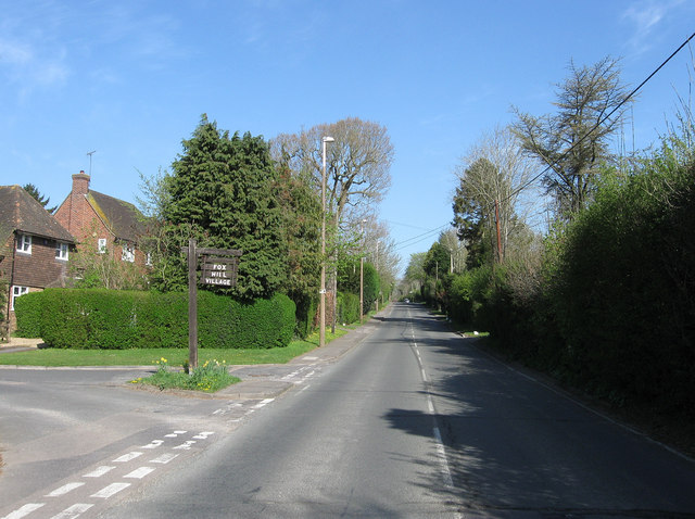
Image: © Simon Carey Taken: 10 Apr 2011
The name of the B2112 as it travels north towards Image as well as the small suburb that lines the western side. The road was originally known as Scrase's Hill after the farm that once occupied the site of Image but was changed after the war to its current name. The entrance to Image is on the left.
Images are licensed for reuse under creativecommons.org/licenses/by-sa/2.0
Image Location
Latitude
50.983452
Longitude
-0.098646