Rookery Way, Fox Hill
Introduction
The photograph on this page of Rookery Way, Fox Hill by Simon Carey as part of the Geograph project.
The Geograph project started in 2005 with the aim of publishing, organising and preserving representative images for every square kilometre of Great Britain, Ireland and the Isle of Man.

There are currently over 7.5m images from over 14,400 individuals and you can help contribute to the project by visiting https://www.geograph.org.uk
Rookery Way, Fox Hill
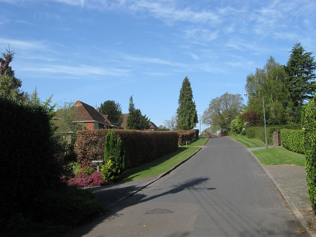
Image: © Simon Carey Taken: 10 Apr 2011
One of four cul-de-sacs that are located on the western side of Fox Hill, the B2112, in the suburb of the same name. The road was laid out in the late 1930s but was not developed until after the war on land that was once part of Keymer parish.
Images are licensed for reuse under creativecommons.org/licenses/by-sa/2.0
Image Location
Latitude
50.985672
Longitude
-0.102402