Oilseed rape near Figheldean
Introduction
The photograph on this page of Oilseed rape near Figheldean by Brian Robert Marshall as part of the Geograph project.
The Geograph project started in 2005 with the aim of publishing, organising and preserving representative images for every square kilometre of Great Britain, Ireland and the Isle of Man.

There are currently over 7.5m images from over 14,400 individuals and you can help contribute to the project by visiting https://www.geograph.org.uk
Oilseed rape near Figheldean
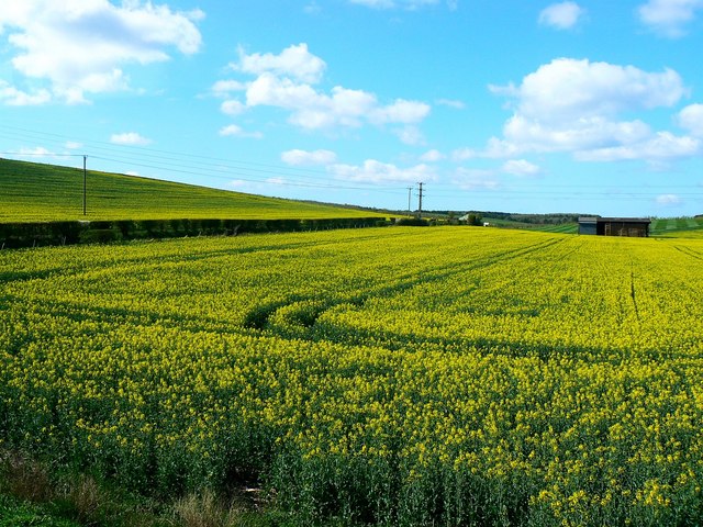
Image: © Brian Robert Marshall Taken: 12 Apr 2011
The crop (Brassica napus) is probably autumn-sown. It is flowering a little later than normal this year it seems. It hasn't yet reached the eye-watering yellow that the crop achieved about this time of year not far away four years ago Image The farm buildings in the distance are unnamed on the maps and are in Image
Images are licensed for reuse under creativecommons.org/licenses/by-sa/2.0
Image Location
Latitude
51.219752
Longitude
-1.786318