National Cycle Network Milepost near New Cut Bridge
Introduction
The photograph on this page of National Cycle Network Milepost near New Cut Bridge by David Anstiss as part of the Geograph project.
The Geograph project started in 2005 with the aim of publishing, organising and preserving representative images for every square kilometre of Great Britain, Ireland and the Isle of Man.

There are currently over 7.5m images from over 14,400 individuals and you can help contribute to the project by visiting https://www.geograph.org.uk
National Cycle Network Milepost near New Cut Bridge
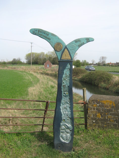
Image: © David Anstiss Taken: 10 Apr 2011
This mile post is on Guilford Road National Cycle Network 1 between Sandwich and Deal. In the background is New Cut Stream beside New Downs Farm access road.
Images are licensed for reuse under creativecommons.org/licenses/by-sa/2.0
Image Location


Leaflet Map data © OpenStreetMap
Latitude
51.269704
Longitude
1.364235