Lunce's Common
Introduction
The photograph on this page of Lunce's Common by Simon Carey as part of the Geograph project.
The Geograph project started in 2005 with the aim of publishing, organising and preserving representative images for every square kilometre of Great Britain, Ireland and the Isle of Man.

There are currently over 7.5m images from over 14,400 individuals and you can help contribute to the project by visiting https://www.geograph.org.uk
Lunce's Common
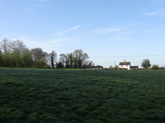
Image: © Simon Carey Taken: 10 Apr 2011
The only registered common in the parish as well as the last surviving one from the middle ages. The common includes this open ground as well as an area of wood containing an old quarry to the south. Griggs Cottage is the two storey building on the right with Studio Cottage to the left.
Images are licensed for reuse under creativecommons.org/licenses/by-sa/2.0
Image Location
Latitude
50.978023
Longitude
-0.096588