Saxon Shore Way crosses New Downs Farm Road
Introduction
The photograph on this page of Saxon Shore Way crosses New Downs Farm Road by David Anstiss as part of the Geograph project.
The Geograph project started in 2005 with the aim of publishing, organising and preserving representative images for every square kilometre of Great Britain, Ireland and the Isle of Man.

There are currently over 7.5m images from over 14,400 individuals and you can help contribute to the project by visiting https://www.geograph.org.uk
Saxon Shore Way crosses New Downs Farm Road
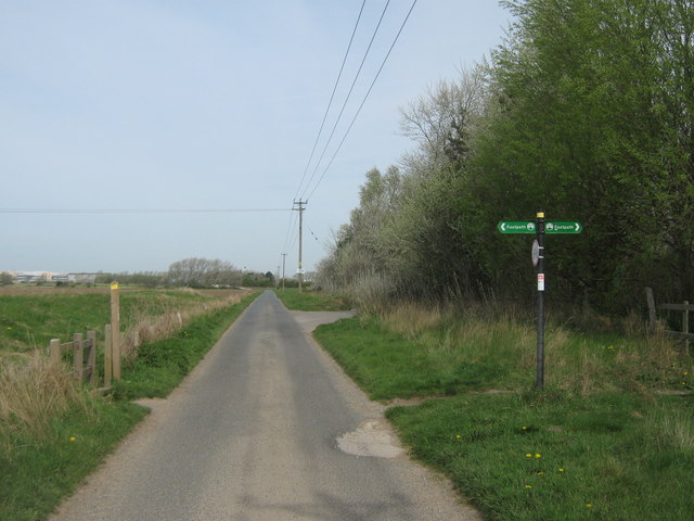
Image: © David Anstiss Taken: 10 Apr 2011
The long distance path leads right into Royal St.George's Golf Course on Sandwich Bay or left towards North Stream and to Sandwich. The road leads from Guilford Road towards the farm.
Images are licensed for reuse under creativecommons.org/licenses/by-sa/2.0
Image Location
Latitude
51.274461
Longitude
1.364583