Great Ham (1)
Introduction
The photograph on this page of Great Ham (1) by Simon Carey as part of the Geograph project.
The Geograph project started in 2005 with the aim of publishing, organising and preserving representative images for every square kilometre of Great Britain, Ireland and the Isle of Man.

There are currently over 7.5m images from over 14,400 individuals and you can help contribute to the project by visiting https://www.geograph.org.uk
Great Ham (1)
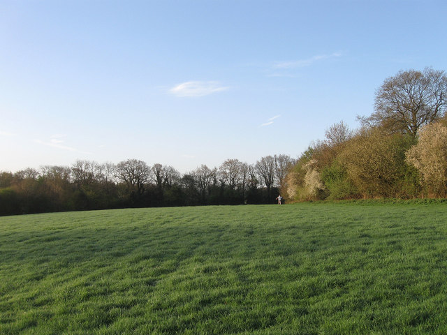
Image: © Simon Carey Taken: 10 Apr 2011
The name of the field according to an estate map of 1659 and Wivelsfield's 1843 tithe map that has now been split into three sections, this is eastern part, see Image for the central section, whilst the western portion has been lost to a newly built housing estate. The person in the distance is following the footpath south to Great Ote Hall.
Images are licensed for reuse under creativecommons.org/licenses/by-sa/2.0
Image Location
Latitude
50.96967
Longitude
-0.108324