River Adur
Introduction
The photograph on this page of River Adur by Simon Carey as part of the Geograph project.
The Geograph project started in 2005 with the aim of publishing, organising and preserving representative images for every square kilometre of Great Britain, Ireland and the Isle of Man.

There are currently over 7.5m images from over 14,400 individuals and you can help contribute to the project by visiting https://www.geograph.org.uk
River Adur
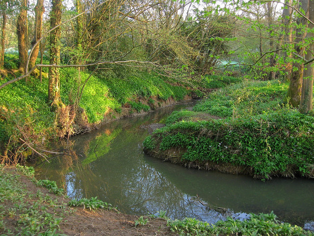
Image: © Simon Carey Taken: 10 Apr 2011
The eastern branch of the river that rises on Ditchling Common skirts the northern edge of Burgess Hill then heads west to join the western branch north of Henfield. Like many Wealden watercourses it has scoured a steep passage through the clay.
Images are licensed for reuse under creativecommons.org/licenses/by-sa/2.0
Image Location
Latitude
50.970536
Longitude
-0.106295