Barnoldswick: Folly Lane
Introduction
The photograph on this page of Barnoldswick: Folly Lane by Dr Neil Clifton as part of the Geograph project.
The Geograph project started in 2005 with the aim of publishing, organising and preserving representative images for every square kilometre of Great Britain, Ireland and the Isle of Man.

There are currently over 7.5m images from over 14,400 individuals and you can help contribute to the project by visiting https://www.geograph.org.uk
Barnoldswick: Folly Lane
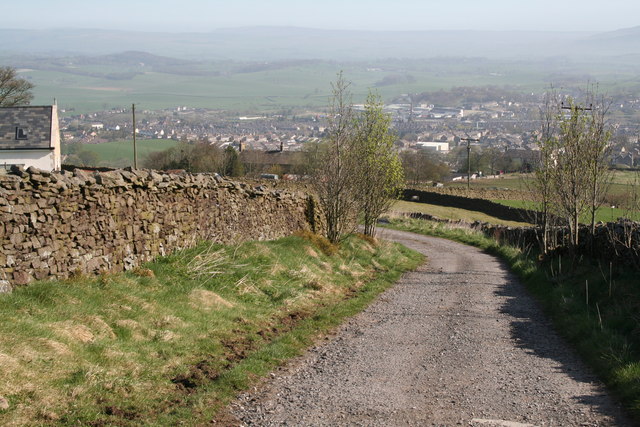
Image: © Dr Neil Clifton Taken: 10 Apr 2011
Looking back down the hill I had just climbed gave lovely views on this sunny April morning
Images are licensed for reuse under creativecommons.org/licenses/by-sa/2.0
Image Location


Leaflet Map data © OpenStreetMap
Latitude
53.906299
Longitude
-2.201947