The Crown, Darwen
Introduction
The photograph on this page of The Crown, Darwen by Bill Boaden as part of the Geograph project.
The Geograph project started in 2005 with the aim of publishing, organising and preserving representative images for every square kilometre of Great Britain, Ireland and the Isle of Man.

There are currently over 7.5m images from over 14,400 individuals and you can help contribute to the project by visiting https://www.geograph.org.uk
The Crown, Darwen
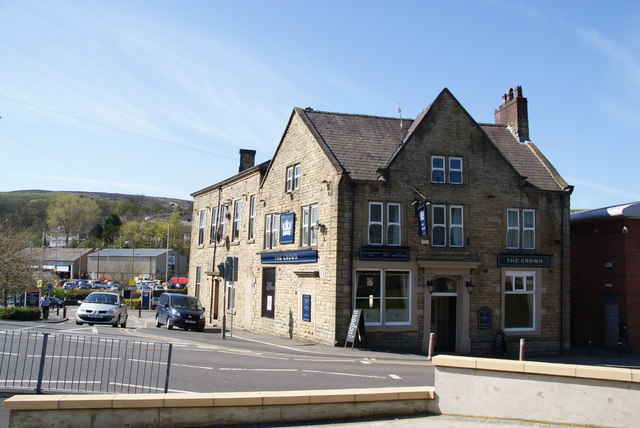
Image: © Bill Boaden Taken: 9 Apr 2011
A surprisingly unobtrusive pub just out of the town centre and by the entrance to Sainsbury's car park.
Images are licensed for reuse under creativecommons.org/licenses/by-sa/2.0
Image Location


Leaflet Map data © OpenStreetMap
Latitude
53.693358
Longitude
-2.465645