Trees at the crossroads
Introduction
The photograph on this page of Trees at the crossroads by Robin Webster as part of the Geograph project.
The Geograph project started in 2005 with the aim of publishing, organising and preserving representative images for every square kilometre of Great Britain, Ireland and the Isle of Man.

There are currently over 7.5m images from over 14,400 individuals and you can help contribute to the project by visiting https://www.geograph.org.uk
Trees at the crossroads
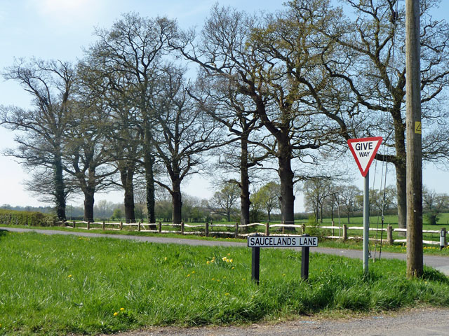
Image: © Robin Webster Taken: 11 Apr 2011
Saucelands Lane meets Coolham Road, and its line is continued across the junction by the dead-end Sproutes Lane, out of sight to the right.
Images are licensed for reuse under creativecommons.org/licenses/by-sa/2.0
Image Location
Latitude
50.983954
Longitude
-0.40893