Forth & Clyde Canal path network
Introduction
The photograph on this page of Forth & Clyde Canal path network by Robert Murray as part of the Geograph project.
The Geograph project started in 2005 with the aim of publishing, organising and preserving representative images for every square kilometre of Great Britain, Ireland and the Isle of Man.

There are currently over 7.5m images from over 14,400 individuals and you can help contribute to the project by visiting https://www.geograph.org.uk
Forth & Clyde Canal path network
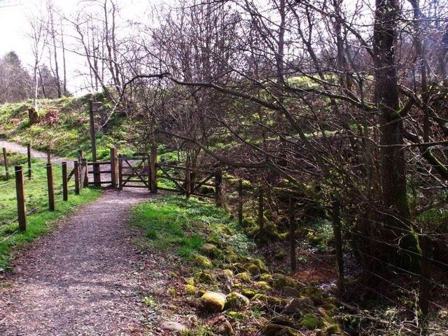
Image: © Robert Murray Taken: 9 Apr 2011
The county boundary to the right with the path leading uphill to the canal towpath.
Images are licensed for reuse under creativecommons.org/licenses/by-sa/2.0
Image Location
Latitude
55.983664
Longitude
-3.950242