Banknock, fields
Introduction
The photograph on this page of Banknock, fields by Robert Murray as part of the Geograph project.
The Geograph project started in 2005 with the aim of publishing, organising and preserving representative images for every square kilometre of Great Britain, Ireland and the Isle of Man.

There are currently over 7.5m images from over 14,400 individuals and you can help contribute to the project by visiting https://www.geograph.org.uk
Banknock, fields
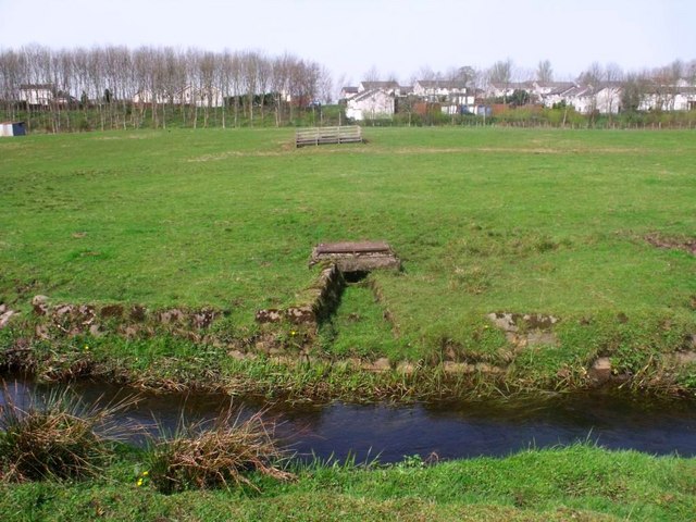
Image: © Robert Murray Taken: 9 Apr 2011
The Bonny Water in the foreground with what looks like an overflow conduit from a water treatment plant or drainage sump visible in the distance.
Images are licensed for reuse under creativecommons.org/licenses/by-sa/2.0
Image Location
Latitude
55.984561
Longitude
-3.950287