Stone building near Haygill Farm, Silsden
Introduction
The photograph on this page of Stone building near Haygill Farm, Silsden by Humphrey Bolton as part of the Geograph project.
The Geograph project started in 2005 with the aim of publishing, organising and preserving representative images for every square kilometre of Great Britain, Ireland and the Isle of Man.

There are currently over 7.5m images from over 14,400 individuals and you can help contribute to the project by visiting https://www.geograph.org.uk
Stone building near Haygill Farm, Silsden
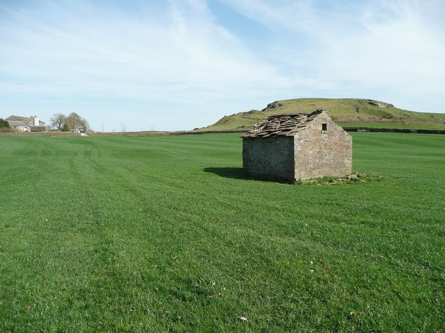
Image: © Humphrey Bolton Taken: 10 Apr 2011
This is open on the far side, although it looks as if it might have had a wall. It looks like a shelter for a shepherd, or perhaps for farm animals or a cart. The stone slates are gradually falling off. Jowett's Crag is in the distance.
Images are licensed for reuse under creativecommons.org/licenses/by-sa/2.0
Image Location


Leaflet Map data © OpenStreetMap
Latitude
53.947889
Longitude
-1.942066