A paved section of the Brandy Pad
Introduction
The photograph on this page of A paved section of the Brandy Pad by Eric Jones as part of the Geograph project.
The Geograph project started in 2005 with the aim of publishing, organising and preserving representative images for every square kilometre of Great Britain, Ireland and the Isle of Man.

There are currently over 7.5m images from over 14,400 individuals and you can help contribute to the project by visiting https://www.geograph.org.uk
A paved section of the Brandy Pad
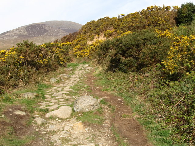
Image: © Eric Jones Taken: 9 Apr 2011
Path erosion is a major problem in the Mournes. Even here walkers have created a new path along side the paved area.
Images are licensed for reuse under creativecommons.org/licenses/by-sa/2.0
Image Location
Latitude
54.173288
Longitude
-5.877491