Hauxton: The Lane
Introduction
The photograph on this page of Hauxton: The Lane by John Sutton as part of the Geograph project.
The Geograph project started in 2005 with the aim of publishing, organising and preserving representative images for every square kilometre of Great Britain, Ireland and the Isle of Man.

There are currently over 7.5m images from over 14,400 individuals and you can help contribute to the project by visiting https://www.geograph.org.uk
Hauxton: The Lane
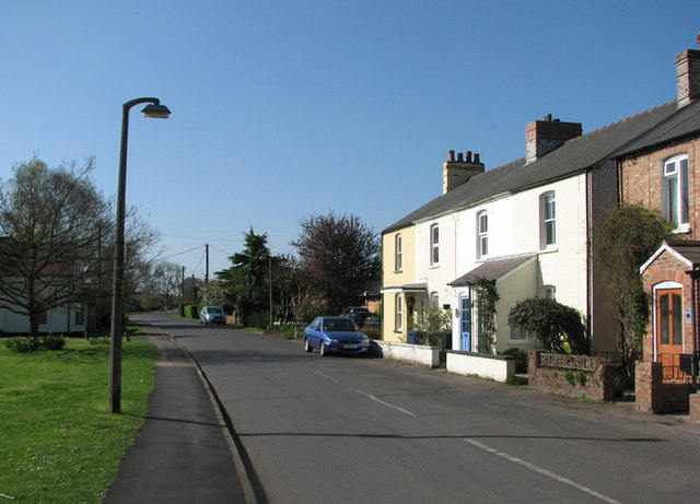
Image: © John Sutton Taken: 8 Apr 2011
The Lane begins at the village green (to the left) and becomes a byway at the southern end of the village. The Victorian terrace is rather urban- and Midland-looking for rural Cambridgeshire.
Images are licensed for reuse under creativecommons.org/licenses/by-sa/2.0
Image Location
Latitude
52.148051
Longitude
0.103606