Council Housing - Henwood Road
Introduction
The photograph on this page of Council Housing - Henwood Road by John M as part of the Geograph project.
The Geograph project started in 2005 with the aim of publishing, organising and preserving representative images for every square kilometre of Great Britain, Ireland and the Isle of Man.

There are currently over 7.5m images from over 14,400 individuals and you can help contribute to the project by visiting https://www.geograph.org.uk
Council Housing - Henwood Road
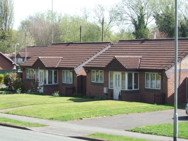
Image: © John M Taken: 9 Apr 2011
Prefabricated homes built in the immediate post war period to ease the housing shortage by Tettenhall UDC. These were originally intended to have a design life of ten years. Two examples survive with a near original appearance Image] which contrasts with the adjacent units which are now brick clad.
Images are licensed for reuse under creativecommons.org/licenses/by-sa/2.0
Image Location
Latitude
52.591196
Longitude
-2.170893