Saucel Hill trig point
Introduction
The photograph on this page of Saucel Hill trig point by Lairich Rig as part of the Geograph project.
The Geograph project started in 2005 with the aim of publishing, organising and preserving representative images for every square kilometre of Great Britain, Ireland and the Isle of Man.

There are currently over 7.5m images from over 14,400 individuals and you can help contribute to the project by visiting https://www.geograph.org.uk
Saucel Hill trig point
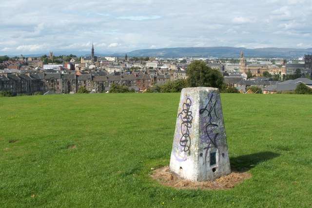
Image: © Lairich Rig Taken: 2 Sep 2005
The same feature is shown in Image and Image In the background of the present photograph, Image is at the extreme right, with Image just to its left. The dome of the Image can be seen near the left-hand edge of the picture.
Images are licensed for reuse under creativecommons.org/licenses/by-sa/2.0
Image Location
Latitude
55.839064
Longitude
-4.4207