Upper Norton Farm
Introduction
The photograph on this page of Upper Norton Farm by Graham Horn as part of the Geograph project.
The Geograph project started in 2005 with the aim of publishing, organising and preserving representative images for every square kilometre of Great Britain, Ireland and the Isle of Man.

There are currently over 7.5m images from over 14,400 individuals and you can help contribute to the project by visiting https://www.geograph.org.uk
Upper Norton Farm
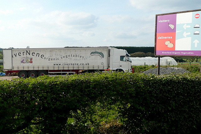
Image: © Graham Horn Taken: 7 Apr 2011
The farm specialises in organic produce. Here is one of the River Nene lorries collecting today's output.
Images are licensed for reuse under creativecommons.org/licenses/by-sa/2.0
Image Location
Latitude
51.183339
Longitude
-1.317492