School Hill
Introduction
The photograph on this page of School Hill by Simon Carey as part of the Geograph project.
The Geograph project started in 2005 with the aim of publishing, organising and preserving representative images for every square kilometre of Great Britain, Ireland and the Isle of Man.

There are currently over 7.5m images from over 14,400 individuals and you can help contribute to the project by visiting https://www.geograph.org.uk
School Hill
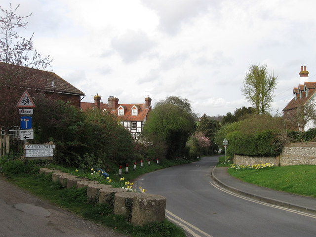
Image: © Simon Carey Taken: 3 Apr 2011
Heading northwards out of Barcombe Cross on its way to Spithurst and Newick. Ten World War Two anti-tank cylinders are to the left a remnant of the former military roadblock that was located here during that conflict.
Images are licensed for reuse under creativecommons.org/licenses/by-sa/2.0
Image Location
Latitude
50.925614
Longitude
0.019806