Abergavenny Road houses, Usk
Introduction
The photograph on this page of Abergavenny Road houses, Usk by Jaggery as part of the Geograph project.
The Geograph project started in 2005 with the aim of publishing, organising and preserving representative images for every square kilometre of Great Britain, Ireland and the Isle of Man.

There are currently over 7.5m images from over 14,400 individuals and you can help contribute to the project by visiting https://www.geograph.org.uk
Abergavenny Road houses, Usk
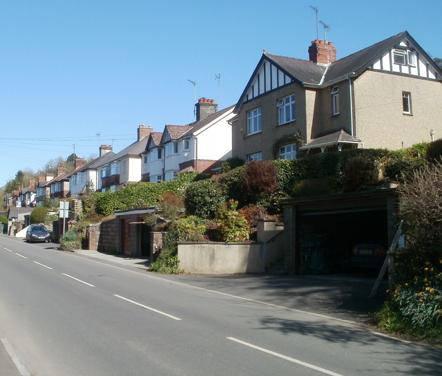
Image: © Jaggery Taken: 8 Apr 2011
Viewed from the northern edge of a former railway bridge http://www.geograph.org.uk/photo/2347805 near the point where Porthycarne Street becomes Abergavenny Road (B4598).
Images are licensed for reuse under creativecommons.org/licenses/by-sa/2.0
Image Location
Latitude
51.706929
Longitude
-2.907342