Path by a drainage ditch in Stafford
Introduction
The photograph on this page of Path by a drainage ditch in Stafford by Bill Boaden as part of the Geograph project.
The Geograph project started in 2005 with the aim of publishing, organising and preserving representative images for every square kilometre of Great Britain, Ireland and the Isle of Man.

There are currently over 7.5m images from over 14,400 individuals and you can help contribute to the project by visiting https://www.geograph.org.uk
Path by a drainage ditch in Stafford
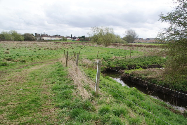
Image: © Bill Boaden Taken: 2 Apr 2011
This is about 1 kilometre from the town centre. If it were not for the drain, the land would be impassable through marshiness. The land forms a green space between the developments alongside the A34 and the A449 to the south of Stafford.
Images are licensed for reuse under creativecommons.org/licenses/by-sa/2.0
Image Location
Latitude
52.792368
Longitude
-2.108212