Misterton High Street
Introduction
The photograph on this page of Misterton High Street by Alan Murray-Rust as part of the Geograph project.
The Geograph project started in 2005 with the aim of publishing, organising and preserving representative images for every square kilometre of Great Britain, Ireland and the Isle of Man.

There are currently over 7.5m images from over 14,400 individuals and you can help contribute to the project by visiting https://www.geograph.org.uk
Misterton High Street
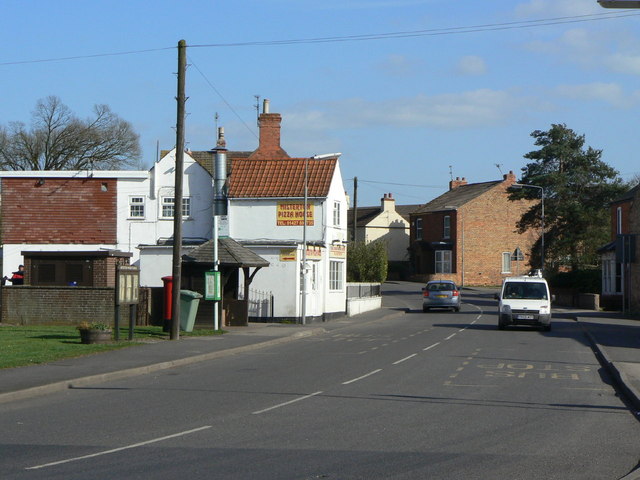
Image: © Alan Murray-Rust Taken: 31 Mar 2011
The pizza house occupies the former Post Office which has moved to the Co-op store at the far end of High Street. The postbox still retains its 'Misterton Post Office' name, see Image
Images are licensed for reuse under creativecommons.org/licenses/by-sa/2.0
Image Location
Latitude
53.44388
Longitude
-0.848965