Nissen hut, West Stockwith
Introduction
The photograph on this page of Nissen hut, West Stockwith by Alan Murray-Rust as part of the Geograph project.
The Geograph project started in 2005 with the aim of publishing, organising and preserving representative images for every square kilometre of Great Britain, Ireland and the Isle of Man.

There are currently over 7.5m images from over 14,400 individuals and you can help contribute to the project by visiting https://www.geograph.org.uk
Nissen hut, West Stockwith
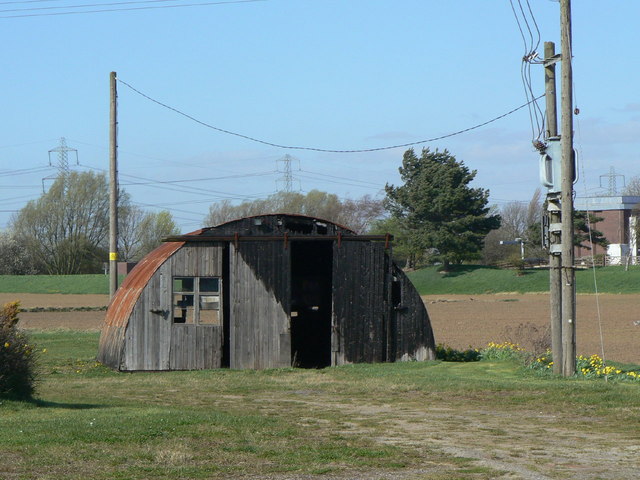
Image: © Alan Murray-Rust Taken: 31 Mar 2011
These are becoming ever rarer. This one is not in too healthy a state having clearly been subject to an incendiary attack.
Images are licensed for reuse under creativecommons.org/licenses/by-sa/2.0
Image Location


Leaflet Map data © OpenStreetMap
Latitude
53.443744
Longitude
-0.816598