Northolt Grange Free Church (Baptist) and play area
Introduction
The photograph on this page of Northolt Grange Free Church (Baptist) and play area by David Hawgood as part of the Geograph project.
The Geograph project started in 2005 with the aim of publishing, organising and preserving representative images for every square kilometre of Great Britain, Ireland and the Isle of Man.

There are currently over 7.5m images from over 14,400 individuals and you can help contribute to the project by visiting https://www.geograph.org.uk
Northolt Grange Free Church (Baptist) and play area
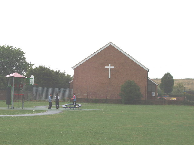
Image: © David Hawgood Taken: 3 Jul 2005
Church, houses, shops and a school are around a central grassed playground which includes this basketball practice area.
Images are licensed for reuse under creativecommons.org/licenses/by-sa/2.0
Image Location


Leaflet Map data © OpenStreetMap
Latitude
51.53596
Longitude
-0.405329