Footpath to Free Down Wood
Introduction
The photograph on this page of Footpath to Free Down Wood by David Anstiss as part of the Geograph project.
The Geograph project started in 2005 with the aim of publishing, organising and preserving representative images for every square kilometre of Great Britain, Ireland and the Isle of Man.

There are currently over 7.5m images from over 14,400 individuals and you can help contribute to the project by visiting https://www.geograph.org.uk
Footpath to Free Down Wood
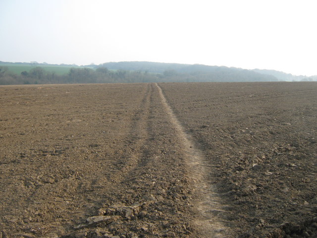
Image: © David Anstiss Taken: 27 Mar 2011
A path leads from Dover Road near Ringwould, through a field and then The Lynch (field boundary wood) and then onto the wood near East Valley Farm.
Images are licensed for reuse under creativecommons.org/licenses/by-sa/2.0
Image Location
Latitude
51.180682
Longitude
1.375634