St. Leonards, Boundary Lane
Introduction
The photograph on this page of St. Leonards, Boundary Lane by Mike Faherty as part of the Geograph project.
The Geograph project started in 2005 with the aim of publishing, organising and preserving representative images for every square kilometre of Great Britain, Ireland and the Isle of Man.

There are currently over 7.5m images from over 14,400 individuals and you can help contribute to the project by visiting https://www.geograph.org.uk
St. Leonards, Boundary Lane
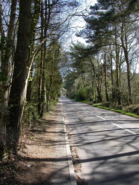
Image: © Mike Faherty Taken: 7 Apr 2011
From Ringwood Road to Hurn Road; tree-lined at this end, passing detached cottages and houses, horse grazings, nurseries and camp sites.
Images are licensed for reuse under creativecommons.org/licenses/by-sa/2.0
Image Location
Latitude
50.819593
Longitude
-1.838826