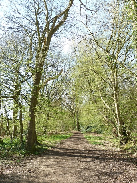
Browns Lane
Introduction
The photograph on this page of Browns Lane by Rob Farrow as part of the Geograph project.
The Geograph project started in 2005 with the aim of publishing, organising and preserving representative images for every square kilometre of Great Britain, Ireland and the Isle of Man.
There are currently over 7.5m images from over 14,400 individuals and you can help contribute to the project by visiting https://www.geograph.org.uk

Image: © Rob Farrow Taken: 6 Apr 2011
This leafy track is called Browns Lane and links Kiln Road near Cholesbury to Image], this view being at its start on a bend on Kiln Road. Surprisingly perhaps this is a "Byway Open to All Traffic" (often abbreviated to BOAT) which means that motor vehicles can use it - but as a sign by the gate informs you, not between November and April. I don't think many cars use it even during the permitted months however - well not without a sumpguard anyway. This is what it looks like in Spring (April) for the same view in Winter (January) see Image]

