Rookery House and Gardens
Introduction
The photograph on this page of Rookery House and Gardens by Michael Westley as part of the Geograph project.
The Geograph project started in 2005 with the aim of publishing, organising and preserving representative images for every square kilometre of Great Britain, Ireland and the Isle of Man.

There are currently over 7.5m images from over 14,400 individuals and you can help contribute to the project by visiting https://www.geograph.org.uk
Rookery House and Gardens
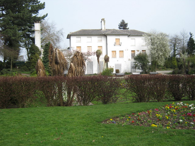
Image: © Michael Westley Taken: 27 Mar 2011
Not yet open to public, in need of restoration http://www.rookery-house.co.uk/index.htm
Images are licensed for reuse under creativecommons.org/licenses/by-sa/2.0
Image Location
Latitude
52.517309
Longitude
-1.835496