Path through Blaenrhondda Park
Introduction
The photograph on this page of Path through Blaenrhondda Park by Jaggery as part of the Geograph project.
The Geograph project started in 2005 with the aim of publishing, organising and preserving representative images for every square kilometre of Great Britain, Ireland and the Isle of Man.

There are currently over 7.5m images from over 14,400 individuals and you can help contribute to the project by visiting https://www.geograph.org.uk
Path through Blaenrhondda Park
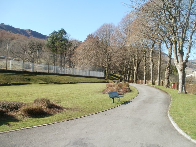
Image: © Jaggery Taken: 23 Mar 2011
The path runs along the west bank of the Rhondda Fawr river. The line of trees are next to a fence at the edge of the river.
Images are licensed for reuse under creativecommons.org/licenses/by-sa/2.0
Image Location
Latitude
51.685772
Longitude
-3.553541