Road widening at Tweenaway Cross, Paignton
Introduction
The photograph on this page of Road widening at Tweenaway Cross, Paignton by Tom Jolliffe as part of the Geograph project.
The Geograph project started in 2005 with the aim of publishing, organising and preserving representative images for every square kilometre of Great Britain, Ireland and the Isle of Man.

There are currently over 7.5m images from over 14,400 individuals and you can help contribute to the project by visiting https://www.geograph.org.uk
Road widening at Tweenaway Cross, Paignton
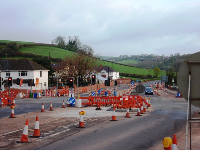
Image: © Tom Jolliffe Taken: 3 Apr 2011
Looking down the hill from the Brixham direction towards Kings Ash Hill.
Images are licensed for reuse under creativecommons.org/licenses/by-sa/2.0
Image Location
Latitude
50.428901
Longitude
-3.589182