The lane widens at a bend
Introduction
The photograph on this page of The lane widens at a bend by Robin Stott as part of the Geograph project.
The Geograph project started in 2005 with the aim of publishing, organising and preserving representative images for every square kilometre of Great Britain, Ireland and the Isle of Man.

There are currently over 7.5m images from over 14,400 individuals and you can help contribute to the project by visiting https://www.geograph.org.uk
The lane widens at a bend
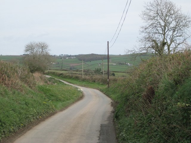
Image: © Robin Stott Taken: 2 Apr 2011
The parish boundary between Blackawton, this side, and Slapton swings in from the southeast (right) and crosses the road to become the highway boundary. Round the corner a wide length of lane is being used to stockpile finely-crushed stone for topdressing the roads. The woodland in the centre of the view may be Cornish Wood near Eastdown in SX8249.
Images are licensed for reuse under creativecommons.org/licenses/by-sa/2.0
Image Location


Leaflet Map data © OpenStreetMap
Latitude
50.323262
Longitude
-3.688491