Field of crops near Barford.
Introduction
The photograph on this page of Field of crops near Barford. by Nigel Mykura as part of the Geograph project.
The Geograph project started in 2005 with the aim of publishing, organising and preserving representative images for every square kilometre of Great Britain, Ireland and the Isle of Man.

There are currently over 7.5m images from over 14,400 individuals and you can help contribute to the project by visiting https://www.geograph.org.uk
Field of crops near Barford.
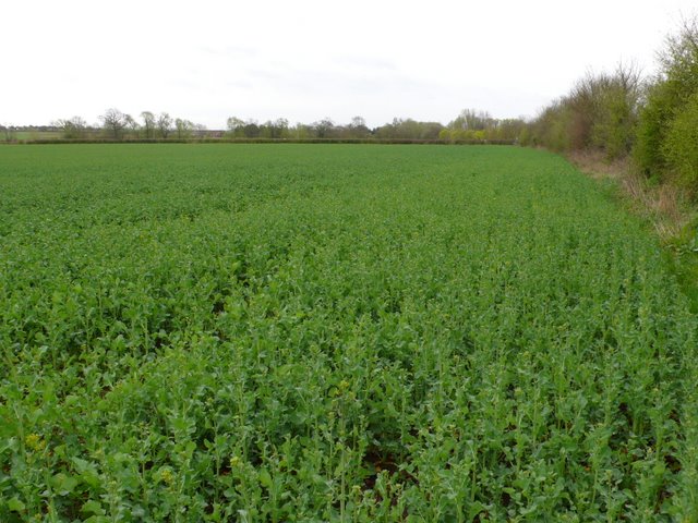
Image: © Nigel Mykura Taken: 3 Apr 2011
This field is just to the east of the A429 between Barford and Wellesbourne. The fields are quite rich as they are on the flood plain of the Avon which is only a few hundred metres away.
Images are licensed for reuse under creativecommons.org/licenses/by-sa/2.0
Image Location
Latitude
52.227278
Longitude
-1.604079