Heathland on Polcrebo Downs
Introduction
The photograph on this page of Heathland on Polcrebo Downs by Rod Allday as part of the Geograph project.
The Geograph project started in 2005 with the aim of publishing, organising and preserving representative images for every square kilometre of Great Britain, Ireland and the Isle of Man.

There are currently over 7.5m images from over 14,400 individuals and you can help contribute to the project by visiting https://www.geograph.org.uk
Heathland on Polcrebo Downs
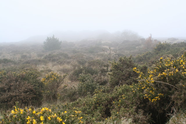
Image: © Rod Allday Taken: 30 Mar 2011
Rough ground sustaining only gorse and heather and a few grasses, probably due to the poor soil in this former mining area. Seen on a very misty March afternoon.
Images are licensed for reuse under creativecommons.org/licenses/by-sa/2.0
Image Location
Latitude
50.152255
Longitude
-5.291443