A50 at Blythe Bridge
Introduction
The photograph on this page of A50 at Blythe Bridge by Peter Whatley as part of the Geograph project.
The Geograph project started in 2005 with the aim of publishing, organising and preserving representative images for every square kilometre of Great Britain, Ireland and the Isle of Man.

There are currently over 7.5m images from over 14,400 individuals and you can help contribute to the project by visiting https://www.geograph.org.uk
A50 at Blythe Bridge
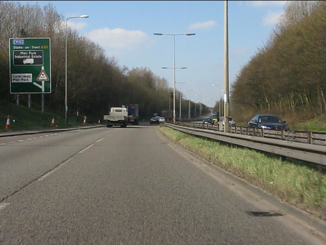
Image: © Peter Whatley Taken: 24 Mar 2011
The western junctions on the Blythe Bridge bypass are very closely spaced. A keen eye will spot not only the entry slip road from the B5029, but also, in the far distance the rising exit slip road for the next junction with the A521.
Images are licensed for reuse under creativecommons.org/licenses/by-sa/2.0
Image Location
Latitude
52.969748
Longitude
-2.084236