River Tweed
Introduction
The photograph on this page of River Tweed by Richard Webb as part of the Geograph project.
The Geograph project started in 2005 with the aim of publishing, organising and preserving representative images for every square kilometre of Great Britain, Ireland and the Isle of Man.

There are currently over 7.5m images from over 14,400 individuals and you can help contribute to the project by visiting https://www.geograph.org.uk
River Tweed
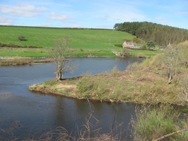
Image: © Richard Webb Taken: 2 Apr 2011
The upstream end of an island which lies across the confluence between the Till and Tweed. The small channel between the island and shore is signposted as the Chapel Stream. Tweedmill cottages are visible on the Scottish bank.
Images are licensed for reuse under creativecommons.org/licenses/by-sa/2.0
Image Location
Latitude
55.679407
Longitude
-2.211153