Fort Road, Pembroke Dock
Introduction
The photograph on this page of Fort Road, Pembroke Dock by Humphrey Bolton as part of the Geograph project.
The Geograph project started in 2005 with the aim of publishing, organising and preserving representative images for every square kilometre of Great Britain, Ireland and the Isle of Man.

There are currently over 7.5m images from over 14,400 individuals and you can help contribute to the project by visiting https://www.geograph.org.uk
Fort Road, Pembroke Dock
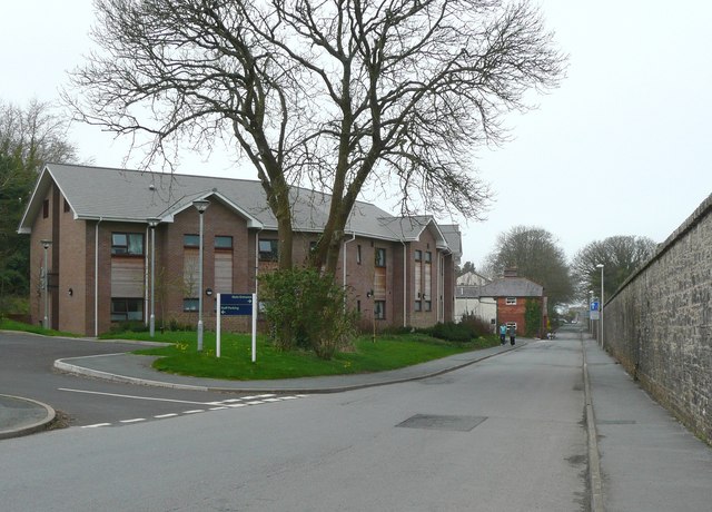
Image: © Humphrey Bolton Taken: 31 Mar 2011
The South Pembrokeshire Hospital is on the left, replacing or incorporating the Admiralty Hospital, which was further down the road. The dockyard wall is on the right.
Images are licensed for reuse under creativecommons.org/licenses/by-sa/2.0
Image Location
Latitude
51.692151
Longitude
-4.954431