Dunbarney Primary School activity area
Introduction
The photograph on this page of Dunbarney Primary School activity area by Rob Burke as part of the Geograph project.
The Geograph project started in 2005 with the aim of publishing, organising and preserving representative images for every square kilometre of Great Britain, Ireland and the Isle of Man.

There are currently over 7.5m images from over 14,400 individuals and you can help contribute to the project by visiting https://www.geograph.org.uk
Dunbarney Primary School activity area
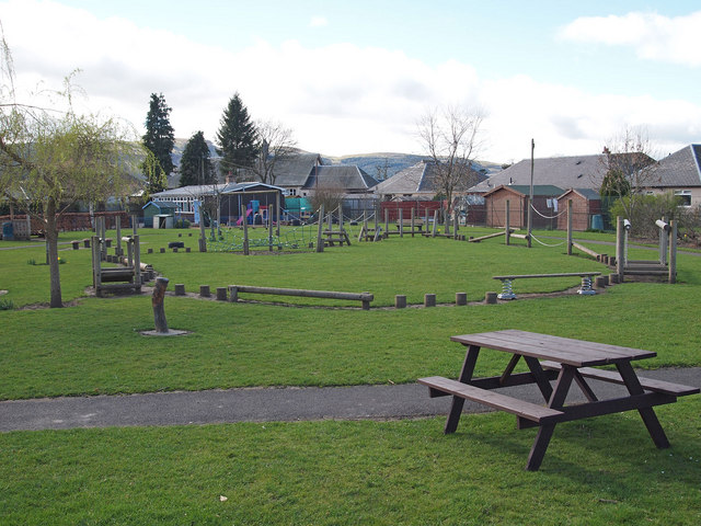
Image: © Rob Burke Taken: 2 Apr 2011
This is a grassed area behind the playground, next to Manse Road, with an outdoor activity course.
Images are licensed for reuse under creativecommons.org/licenses/by-sa/2.0
Image Location
Latitude
56.349972
Longitude
-3.408238