2011 : Northern end of Harry Stoke Road
Introduction
The photograph on this page of 2011 : Northern end of Harry Stoke Road by Maurice Pullin as part of the Geograph project.
The Geograph project started in 2005 with the aim of publishing, organising and preserving representative images for every square kilometre of Great Britain, Ireland and the Isle of Man.

There are currently over 7.5m images from over 14,400 individuals and you can help contribute to the project by visiting https://www.geograph.org.uk
2011 : Northern end of Harry Stoke Road
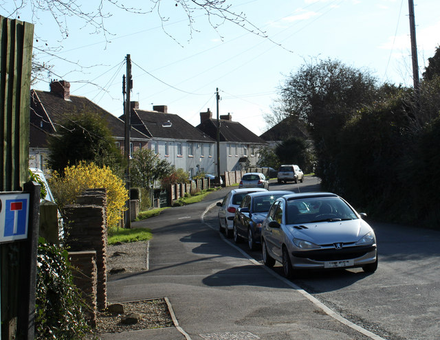
Image: © Maurice Pullin Taken: 20 Mar 2011
Seen from the junction with Church Road and Hambrook Lane.
Images are licensed for reuse under creativecommons.org/licenses/by-sa/2.0
Image Location
Latitude
51.511015
Longitude
-2.541611