Path by Wavendon Wood
Introduction
The photograph on this page of Path by Wavendon Wood by Derek Harper as part of the Geograph project.
The Geograph project started in 2005 with the aim of publishing, organising and preserving representative images for every square kilometre of Great Britain, Ireland and the Isle of Man.

There are currently over 7.5m images from over 14,400 individuals and you can help contribute to the project by visiting https://www.geograph.org.uk
Path by Wavendon Wood
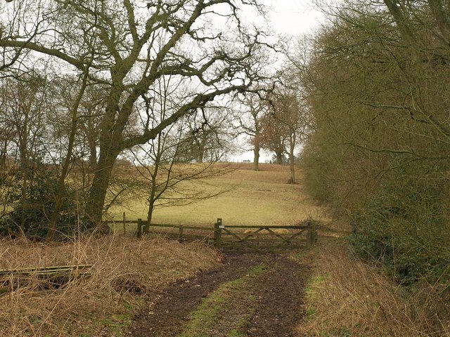
Image: © Derek Harper Taken: 5 Feb 2011
The footpath to Aspley Heath, which has followed the northern edge of the wood, here cuts between it (right) and an eastern extension before climbing past the Bow Brickhill Road allotments.
Images are licensed for reuse under creativecommons.org/licenses/by-sa/2.0
Image Location


Leaflet Map data © OpenStreetMap
Latitude
52.010012
Longitude
-0.657942