Little Whinstone Dyke, Walbottle Dene
Introduction
The photograph on this page of Little Whinstone Dyke, Walbottle Dene by Andrew Curtis as part of the Geograph project.
The Geograph project started in 2005 with the aim of publishing, organising and preserving representative images for every square kilometre of Great Britain, Ireland and the Isle of Man.

There are currently over 7.5m images from over 14,400 individuals and you can help contribute to the project by visiting https://www.geograph.org.uk
Little Whinstone Dyke, Walbottle Dene
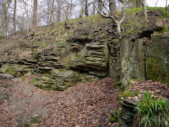
Image: © Andrew Curtis Taken: 3 Apr 2011
Outcrop of rock named as 'Little Whinstone Dyke' on the 1:25000 OS Map. The niche in the rock is known locally as 'The Devil's Chair'.
Images are licensed for reuse under creativecommons.org/licenses/by-sa/2.0
Image Location
Latitude
54.993451
Longitude
-1.746769