Possible terminal basin, Romford Canal
Introduction
The photograph on this page of Possible terminal basin, Romford Canal by Robin Webster as part of the Geograph project.
The Geograph project started in 2005 with the aim of publishing, organising and preserving representative images for every square kilometre of Great Britain, Ireland and the Isle of Man.

There are currently over 7.5m images from over 14,400 individuals and you can help contribute to the project by visiting https://www.geograph.org.uk
Possible terminal basin, Romford Canal
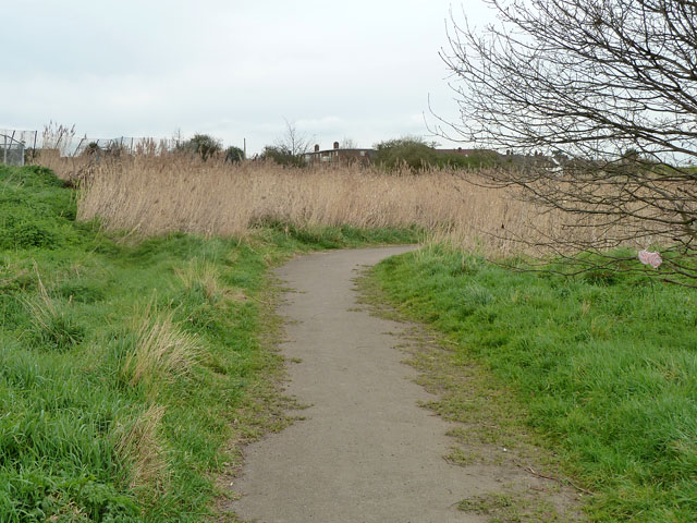
Image: © Robin Webster Taken: 2 Apr 2011
This reed bed in a large shallow depression west of the Beam River may have been the temporary terminal basin of the never completed canal. Early maps suggest a basin here, just north of the road crossing by what is now the A1112. No work was done north from this point, which would have soon involved a four lock flight.
Images are licensed for reuse under creativecommons.org/licenses/by-sa/2.0
Image Location
Latitude
51.537824
Longitude
0.172972