Port Vale, Lower Bengeo
Introduction
The photograph on this page of Port Vale, Lower Bengeo by Stephen McKay as part of the Geograph project.
The Geograph project started in 2005 with the aim of publishing, organising and preserving representative images for every square kilometre of Great Britain, Ireland and the Isle of Man.

There are currently over 7.5m images from over 14,400 individuals and you can help contribute to the project by visiting https://www.geograph.org.uk
Port Vale, Lower Bengeo
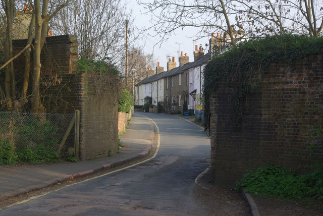
Image: © Stephen McKay Taken: 28 Mar 2011
The remains of the bridge here once carried a railway branch line from Welwyn Garden City to Hertford East. The last train passed this way in 1966 although it has been suggested as a possible route for the east - west (Cambridge - Oxford) link.
Images are licensed for reuse under creativecommons.org/licenses/by-sa/2.0
Image Location
Latitude
51.800627
Longitude
-0.087957