Shrewsbury Park
Introduction
The photograph on this page of Shrewsbury Park by Marathon as part of the Geograph project.
The Geograph project started in 2005 with the aim of publishing, organising and preserving representative images for every square kilometre of Great Britain, Ireland and the Isle of Man.

There are currently over 7.5m images from over 14,400 individuals and you can help contribute to the project by visiting https://www.geograph.org.uk
Shrewsbury Park
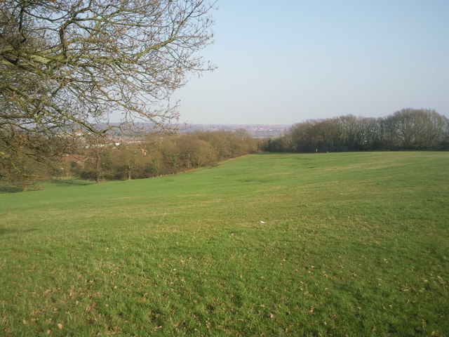
Image: © Marathon Taken: 8 Mar 2011
From the upper reaches of Shrewsbury Park, there are extensive views down to Plumstead Common and across the Thames. In this view, Bostall Woods are on the left horizon behind the tree, whilst to the right is looking towards Bexleyheath.
Images are licensed for reuse under creativecommons.org/licenses/by-sa/2.0
Image Location
Latitude
51.474731
Longitude
0.081698