Drive to Park Farm
Introduction
The photograph on this page of Drive to Park Farm by Derek Harper as part of the Geograph project.
The Geograph project started in 2005 with the aim of publishing, organising and preserving representative images for every square kilometre of Great Britain, Ireland and the Isle of Man.

There are currently over 7.5m images from over 14,400 individuals and you can help contribute to the project by visiting https://www.geograph.org.uk
Drive to Park Farm
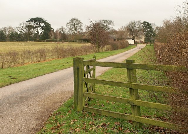
Image: © Derek Harper Taken: 5 Feb 2011
Seen from Lower End Road. The farmhouse is listed - see http://www.britishlistedbuildings.co.uk/en-397746-park-farmhouse-wavendon .
Images are licensed for reuse under creativecommons.org/licenses/by-sa/2.0
Image Location
Latitude
52.03009
Longitude
-0.660402