Llwybr cyhoeddus Bwlchygwynt / Bwlchygwynt public footpath
Introduction
The photograph on this page of Llwybr cyhoeddus Bwlchygwynt / Bwlchygwynt public footpath by Alan Richards as part of the Geograph project.
The Geograph project started in 2005 with the aim of publishing, organising and preserving representative images for every square kilometre of Great Britain, Ireland and the Isle of Man.

There are currently over 7.5m images from over 14,400 individuals and you can help contribute to the project by visiting https://www.geograph.org.uk
Llwybr cyhoeddus Bwlchygwynt / Bwlchygwynt public footpath
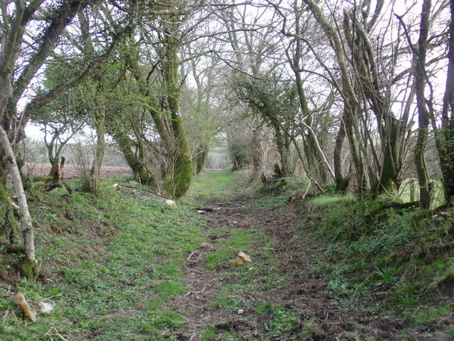
Image: © Alan Richards Taken: 2 Apr 2011
Llwybr cyhoeddus yn arwain o Ffarm Bwlch y Gwynt at Ffarm Garllegan Fawr. Yn y gorffenol byddai pobl yn ei gerdded yn ddyddiol gan ei bod yn llwybr tarw rhwng pentrefi Gelliwen a Meidrum. Ychydig sy yn ei defnyddio bellach. Public footpath leading from Bwlchygwynt (trans. Windy Pass) towards Garllegan Fawr Farm (trans. 'Little Garlic Stream?'). In the past people would have used the path daily as a short cut between the villages of Gelliwen and Meidrim. Nowadays, it is infrequently used.
Images are licensed for reuse under creativecommons.org/licenses/by-sa/2.0
Image Location


Leaflet Map data © OpenStreetMap
Latitude
51.874928
Longitude
-4.504074